Geocoding
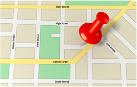 Geocoding is the process of assigning location to information. In the context of a Geographic Information System (GIS), it means assigning geographic point coordinates to a street address.
Geocoding is the process of assigning location to information. In the context of a Geographic Information System (GIS), it means assigning geographic point coordinates to a street address.
View the data portal topics we updated from 2019 to present.
 One way to discover data or learn about the data on the Maine Tracking Network is to explore its metadata.
 Operated by the Maine Center for Disease Control and Prevention, MaineTracking Network connects data and measures to the people that use them to improve public health in Maine, using a web-based data portal.
The MaineTracking Program connects communities, public health professionals, policy makers, state agencies, and others to the data they need to monitor public health, respond to health concerns, prioritize resources for public health action, and evaluate prevention activities.